The FEMA Risk Mapping, Assessment, and Planning (Risk MAP) program, through the National Flood Insurance Program (NFIP), helps communities understand and prepare for changing flood risks by updating their flood maps. These updated flood maps help communities make decisions about building codes and other standards to reduce the risk and mitigate the potential damage to residents, homes, and businesses from flooding. This also means property previously not in a flood zone can be added to one, resulting in property owners needing to purchase a new flood insurance policy.
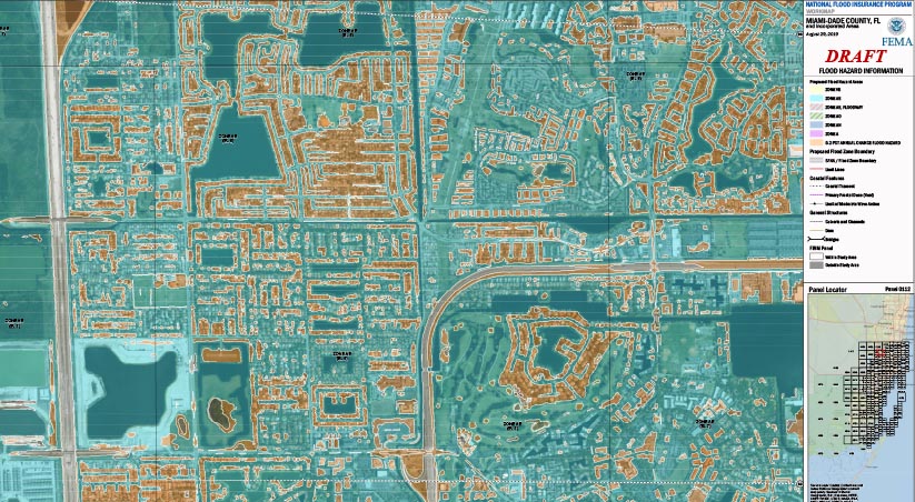
FEMA periodically reviews the flood maps to determine if they should be updated or changed. For the first time since 2009, Miami-Dade County will release their preliminary flood maps for public review next month. Similarly, for the first time since 2014, Broward County will release their revised preliminary flood maps to the public for review next month as well. The public has the right to appeal the findings during a 90-day appeal process. Appeals must be founded on technical data and analysis, not non-technical arguments. Once this period is up and appeals and comments are reviewed, the updated FIRM panel becomes effective 6 months later.
At Cummins Cederberg, our coastal engineers are routinely involved in FEMA flood mapping and flood map revisions. Our technical experts can review appeals and prepare the technical analysis required to amend the flood map before it becomes effective. Our goal when it comes to these types of appeals is to help property owners make the best decisions, reduce flood insurance premiums, and mitigate the potential for flood damage to property.