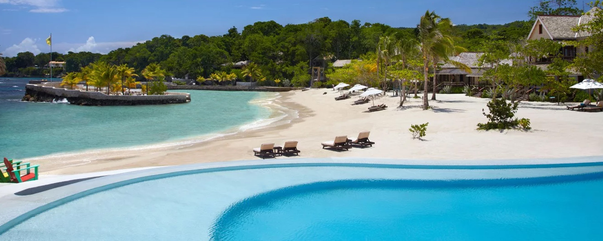
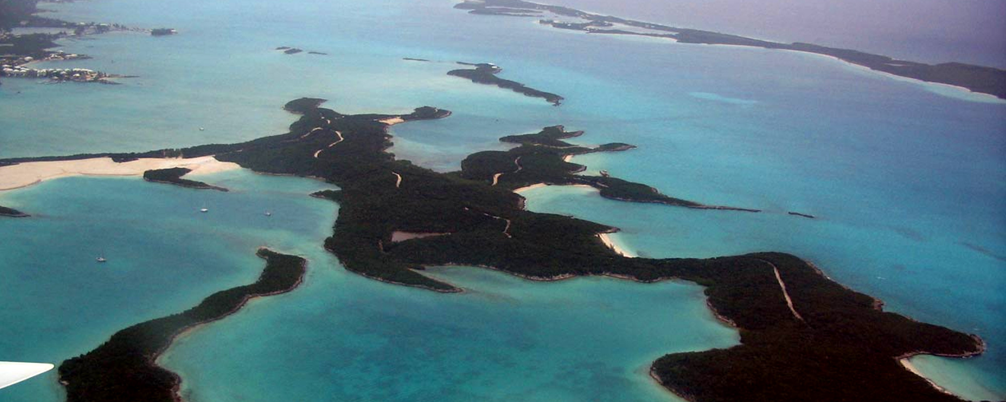
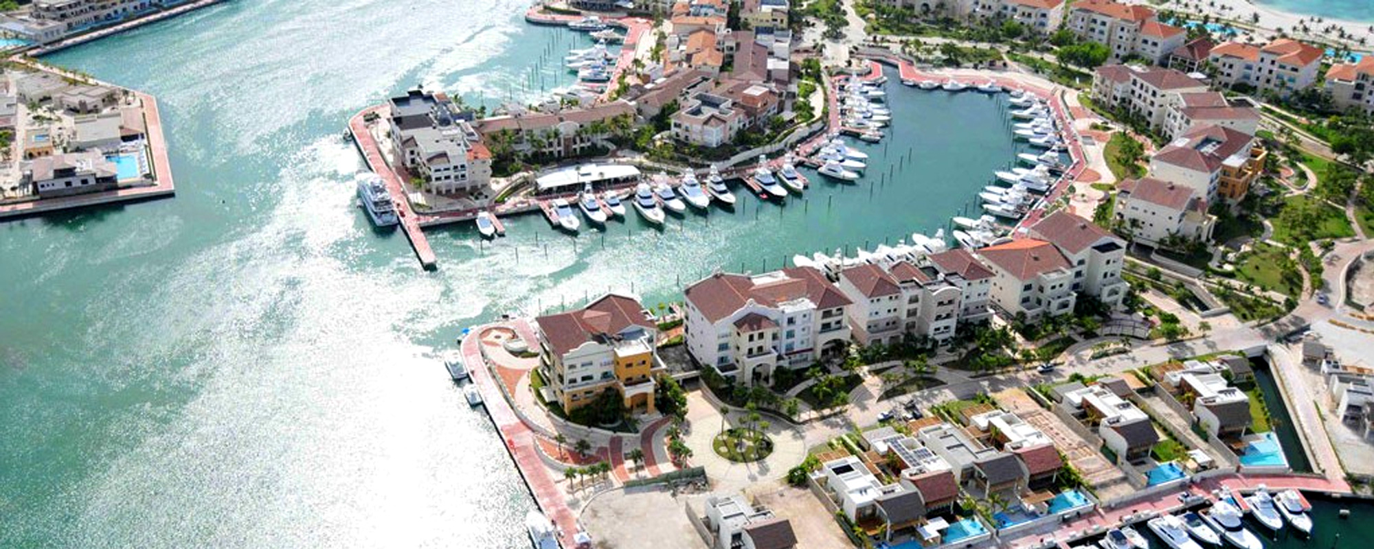
Ocean Cay Marine Reserve
Location
Ocean Cay, The Bahamas
Description
Led all surveying and coastal engineering, as well as the Environmental Impact Analysis (AIA) and Environmental Management Plan (EMP), for MSC Cruises private destination island.
Expertise
- Marine engineering
- Coastal engineering
- Wave analysis
- Storm surge study
- Bathymetirc surveying
- Environmental Impact Analysis (EIA)
- Hurricane modeling
More about the Ocean Cay Marine Reserve project
Ocean Cay is located in the southern portion of the Bimini Islands. Cummins Cederberg was retained to lead all surveying and coastal engineering, as well as the Environmental Impact Analysis (EIA) and Environmental Management Plan (EMP).
Topographic and bathymetric surveying were performed along with rectified aerials. Due to the remote location, existing information was limited and thus many items, such as control points and water levels, were redeveloped. A long-term tidal study was performed to determine tidal levels, which is critical when determining dredge and storm surge elevations. A marine resource survey was conducted to map marine resources, such as seagrass and corals, which could potentially be impacted by the construction. An EIA was prepared and approved by the BEST commission.
Detailed hurricane and wave modeling were conducted utilizing the advanced MIKE21 software to determine extreme wave and storm surge conditions. A flood map with minimum finished floor elevations was prepared for use by the design team. Directly following the analysis, the island was impacted by Hurricane Matthew, which was similar to one of many hurricane events simulated. The model storm surge elevations were consistent with the observed impacts.
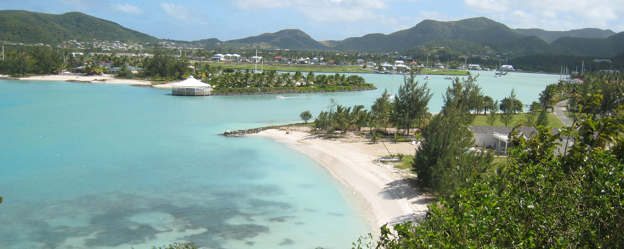
A detailed sediment transport study was performed for subsequent use in the beach design. Nearly two miles of beach was created along the island perimeter and within two interior lagoons. Water circulation modeling was performed to ensure a high rate of water exchange in the lagoons.
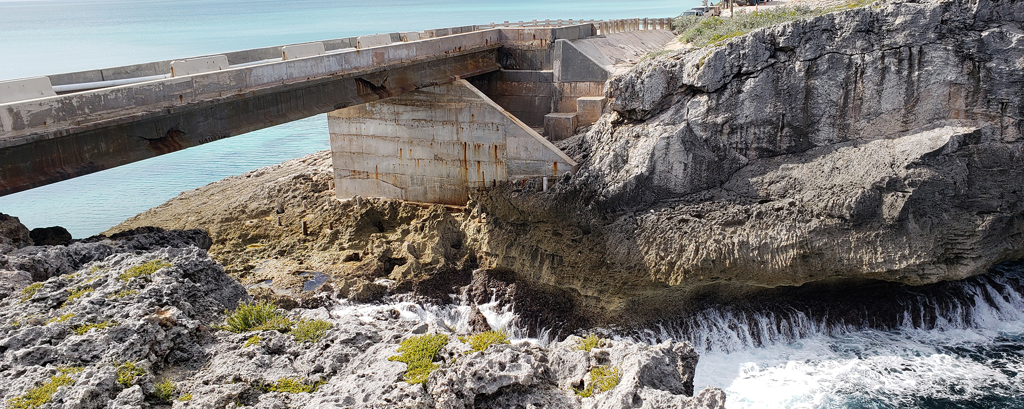
Wave loads during extreme conditions were determined for marine structures. Shoreline stabilization was designed along critical areas of the island perimeter to ensure stability during extreme hurricane conditions. The shoreline stabilization included placement of 100,000 tons of rock, including areas near water depths up to 60 feet. Expansion of the island through reclamation and excavation was designed involving almost 1 million cubic yard of earthwork.