Uncategorized
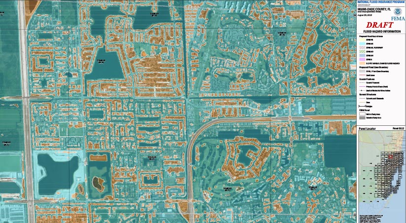
Appeal Window is Open for Preliminary Flood Maps
The FEMA Risk Mapping, Assessment, and Planning (Risk MAP) program, through the National Flood Insurance Program (NFIP), helps communities understand and prepare for changing flood risks by updating their flood maps. These updated flood maps help communities make decisions about building codes and other standards to reduce the risk and mitigate the potential damage to

Educating the Next Generation of Architects on the Engineering Design Behind Resiliency
On November 3, 2020, Jason Cummins, PE, participated in the Historic Preservation, Sea Level Rise, and Inspirational Resiliency Visions for Miami Beach in 2070 advanced Architecture Design Studio course offered by the FIU Department of Architecture.
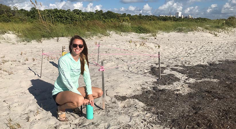
Sea Turtle Nesting Season Underway in Florida
From adopting a nest at Bill Baggs State Park, to designing and permitting our beach projects with Sea Turtle Construction Conditions in mind, Cummins Cederberg is committed to protecting sea turtles for future generations.
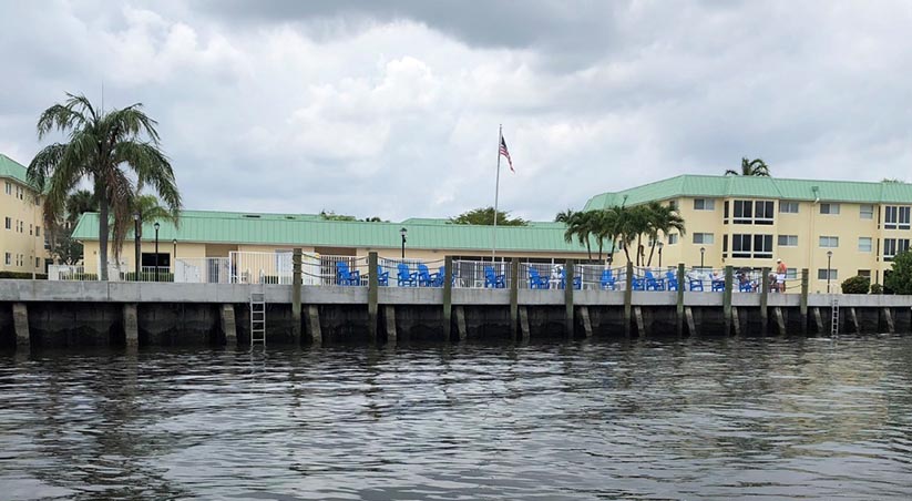
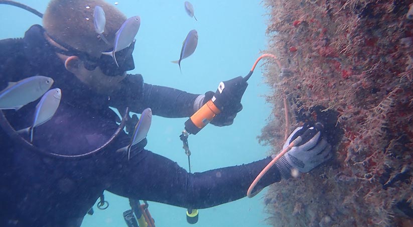
Guidelines for Seawall Maintenance
With proper planning, routine inspections, proactive maintenance, and thoughtful design, a seawall owner can maintain shoreline stabilization and protection for their property now and into the future.
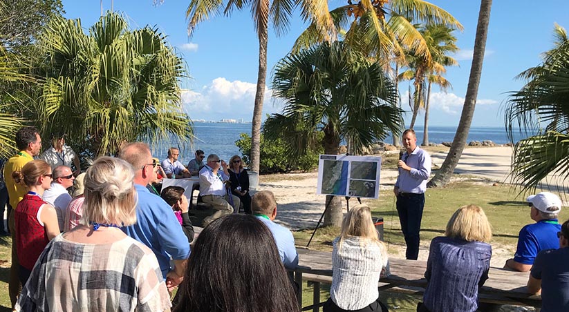
Jannek Cederberg will join expert panel on Resilience in South Florida
On Thursday, April 16th, Jannek Cederberg will join an expert panel comprised of researchers, engineers, attorneys, and architects to discuss "Resilience" in South Florida.
Getting to know Cummins Cederberg: Jon Cunningham
Jon Cunningham is a Project Engineer responsible for performing structural design, above and below water condition inspections, project planning and construction assistance for our projects involving coastal and marine structures.
2019 in review: Letter from our Principals
It was a BIG year here at Cummins Cederberg, and we hope this year was one of joy and growth for you as well.
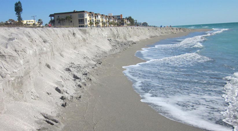
Coastal Erosion: Hurricane Dorian and Extreme Storms
Earlier this week, Category 5 Hurricane Dorian stalled over the Bahamas, causing mass destruction on the islands and threatening Florida’s East coast with intense storm surges and wind gusts.
Danielle H. Irwin – 2019 Environmental Permitting Summer School Speaker
So your proposed project is located over state owned, Sovereign Submerged Lands, or in an Aquatic Preserve. How do you navigate the additional hurdles?