Jose Marti Park Adaptive Redesign
Location
Miami, Florida
Description
Adaptive redesign of 13-acre park on the Miami River to adapt to sea level rise and enhance waterfront access to residents
Expertise
- Inundation modeling
- Waterfront engineering design
- Environmental permitting
- Grant management
More about the Jose Marti Park Adaptive Redesign project
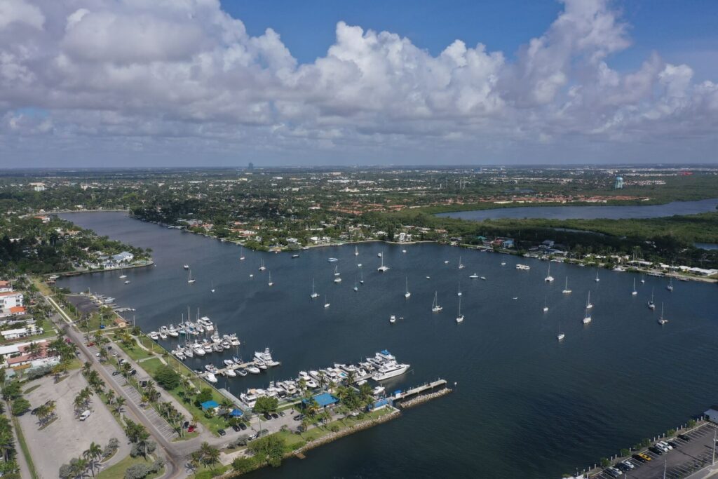
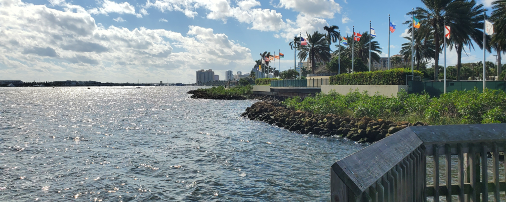
The redesign of this 13-acre, multi-use recreational space on the Miami River explores ways in which the park can minimize tidal flood impacts to the surrounding neighborhood, adapt to sea level rise, and enhance waterfront access to residents. Given its physically and socially vulnerable location between the Miami River and Little Havana, a low lying, low-income Hispanic community, a participatory design process emphasizing community goals is critical for success.
The Jose Marti Park Adaptive Redesign will serve as a model for resilient waterfront parks that can adapt to current and future flood risks associated with climate change through the lenses of economy, ecology, and equity. Cummins Cederberg is responsible for the inundation modeling, waterfront engineering design, environmental permitting, and grant management.
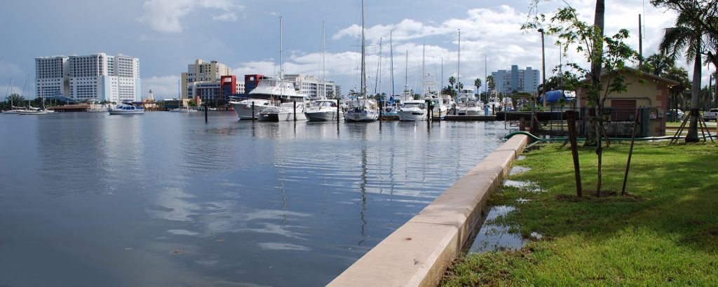
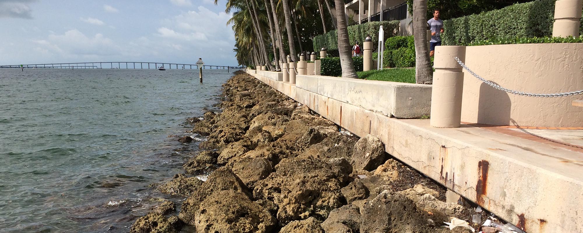
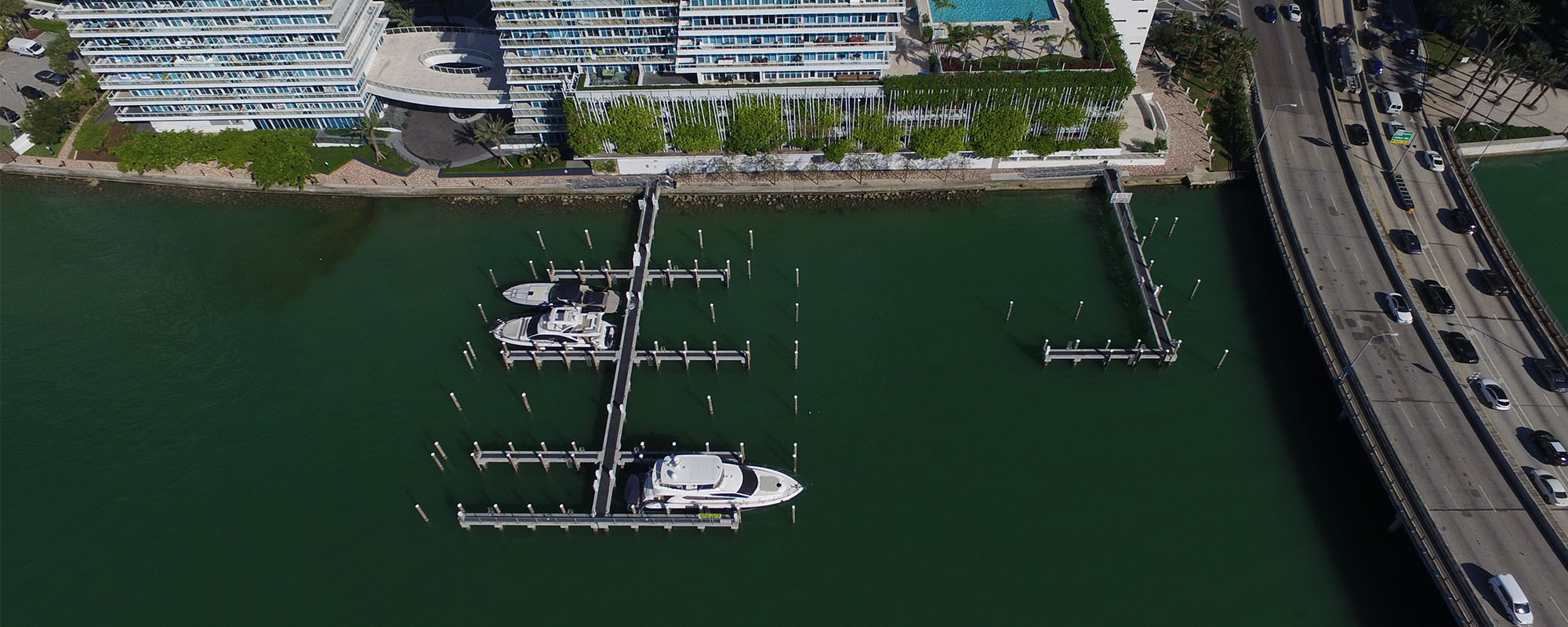
The proposed work includes a floating boardwalk, providing access for direct water engagement and a 360-degree view with the Miami River on one side of the boardwalk and living shoreline planters on the landward side. The living shoreline and resilient seawall accommodate multiple goals of increasing shoreline stabilization and improving ecosystem services. The waterfront engineering design also includes a water taxi slip for potential water-based commuter services to create a more interconnected transportation option to Miami Beach and other possible locations around the Biscayne Bay.